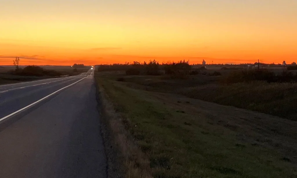
View looking back at Mission Lake from the grid south of Lebret. If you follow this grid road, you will eventually join Highway 56 again just north of Indian Head.

A field between Mission and Katepwa Lakes with hay-bales ready for winter and a view of Katepwa Lake in the distance.
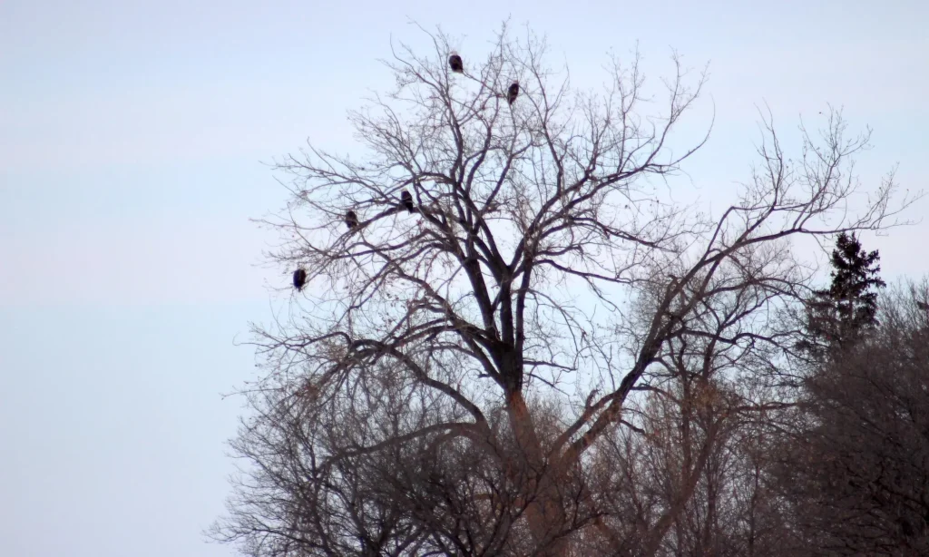
Five bald eagles were gathered together in one tree in the Katepwa Lake area of the Qu’Appelle Valley. Taken in 2019.

This outdoor interpretive centre is in the beautiful Katepwa Point Provincial Park, the smallest provincial park in Saskatchewan. A plaque just outside it shows hiking trails in the area.
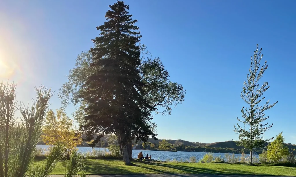
A peaceful day at Katepwa Point overlooking Katepwa Lake. A beautiful beach, plenty of trees offering shade and paved walking paths all make it worth a visit.

Katepwa Lake looking east over calm waters from Katepwa Point Provincial Park with the shore across the lake beginning to fade into the distance.

Lakeview Beach on the left and Katepwa Point on the right are two points appearing to almost meet from this angle of view from the shore of Katepwa Lake.

On the shore of Katepwa Lake, All Saints Anglican Church has been serving the Katepwa community since 1884.

At the very eastern tip of Katepwa Lake you’ll find a wonderful recreation park along a road that winds around the south side of the lake to more cottages along the shore.

The Qu’Appelle River continues its journey after passing through the control structures at end of Katepwa Lake still visible in the background.
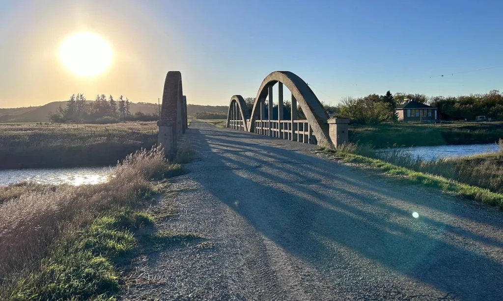
The sun is low in the sky as we approach a beautiful old bridge crossing the Qu’Appelle River east of Katepwa Lake.
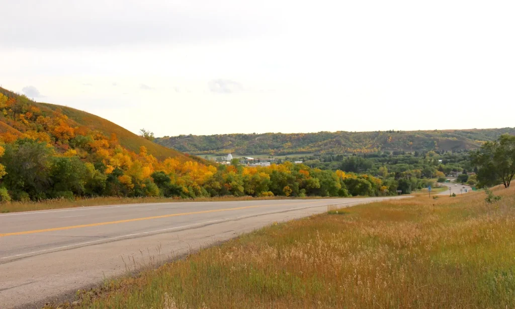
The Qu’Appelle Valley comes into view from Hwy 10 east. You can just see the Treaty 4 Governance Centre tee-pee style conference centre on the left side of the valley view.
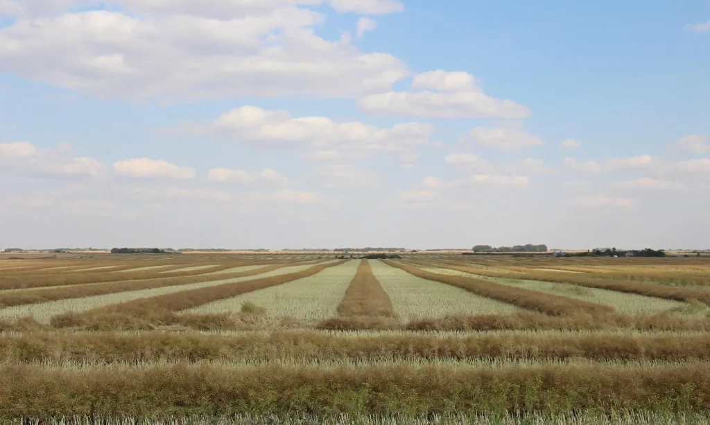
Swaths of canola drying in a field in view of the highway. Canola is a popular crop with farmers in this area of the province.

As we pass the Town of Balcarres we see welcoming flower scuptures of a Prairie Lily and Sunflower strutting their stuff next to the highway.

At Balcarres the setting sun makes the rails gleam beside one of only a few ‘Prairie Sentinels’ left. The new concrete terminal is just visible as a silhouette in the distance, left of the rails.

The Village of Abernethy comes into view as we follow Highway 22 south-east. This community has a Nature & Heritage Museum worth visiting as well as a church built in 1905.

An interior shot of the living room in the National Historic Site Motherwell Homestead’s Italionate-style stone house with grounds around it to provide all the necessities of life.

